Flughafen Pocahontas Municipal


Airinme bietet günstige Flüge nach Pocahontas Municipal von allen großen Flughäfen der Welt an. Wir vergleichen Flüge mit Hunderten von Fluglinien und Tausenden von Strecken, um Ihnen die günstigste Option für Ihren Urlaub zu bieten. Egal, ob es sich um einen Kurzurlaub, einen Kultururlaub oder einen romantischen Ausflug handelt, buchen Sie Ihre Flüge nach Pocahontas Municipal online bei Airinme.
Auf dieser Seite wurden nützliche Flughafeninformationen für Ihre Referenz zusammengestellt. Suchen Sie diese durch, um Abflug- und Ankunfts Aktualisierungen, Flugzeiten, Flugpläne, Kontakttelefonnummer und Informationen zum Flughafen Pocahontas Municipal zu erhalten.
Flüge von und nach Pocahontas Municipal sowie Anschlussflüge über Pocahontas finden Sie in wenigen Sekunden auf der Airinme-Website. Schnelle, einfache und umfassende Suchfunktionen mit den günstigsten Optionen helfen Ihnen bei der Planung einer Reise beliebiger Komplexität.
Flughäfen in der Nähe von Pocahontas Municipal
- Humboldt (33 km)
- Fort Dodge (43 km)
- Algona (48 km)
- Storm Lake Municipal (51 km)
- Spencer Municipal (65 km)
- Webster City Municipal (72 km)
- Estherville Municipal (74 km)
- Carroll (78 km)
- Ida Grove Municipal (80 km)
- Spirit Lake (82 km)
- Jefferson Municipal (85 km)
- Forest City Municipal (100 km)
- Boone (101 km)
- Fairmont (102 km)
- Denison Municipal (103 km)
- Jackson (105 km)
- Perry Municipal (109 km)
- Hampton Municipal (116 km)
- Mason City (117 km)
- Iowa Falls (117 km)
- Ames (119 km)
- Le Mars Municipal (126 km)
- Worthington Municipal (127 km)
- Windom Municipal (135 km)
- Albert Lea (147 km)
- Sioux Gateway (147 km)
- Atlantic Municipal (153 km)
- Des Moines (157 km)
- Marshalltown Municipal (158 km)
- Canton (169 km)
- Northeast Iowa Regional (170 km)
- Austin (173 km)
- Mankato Regional (175 km)
- New Ulm (176 km)
- Newton Municipal (179 km)
- Waterloo Regional (185 km)
- Council Bluffs Municipal (189 km)
- Owatonna (190 km)
- Omaha Eppley Airfield (191 km)
- Creston Municipal (193 km)
- Sioux Falls Regional (194 km)
- Redwood Falls Municipal (204 km)
- Scribner State (207 km)
- Faribault Municipal (207 km)
- Millard (211 km)
- Fremont Municipal (211 km)
- Marshall-Ryan Field (213 km)
- Internationaler Rochester (217 km)
- Chan Gurney (224 km)
- Schenck Field (227 km)
- Stanton (233 km)
- Browns (241 km)
- Madison (243 km)
- Decorah Municipal (244 km)
- Norfolk Regional (244 km)
- Oskaloosa Municipal (245 km)
- Brookings Regional (247 km)
- Flying Cloud (251 km)
- Ottumwa Regional (258 km)
- Cedar Rapids (260 km)
- Chippewa County (262 km)
- Internationaler Minneapolis-Saint Paul (264 km)
- Bay City (265 km)
- Columbus Municipal (265 km)
- Waukon Municipal (265 km)
- Willmar Municipal (267 km)
- Lincoln (274 km)
- St Paul Downtown (275 km)
- Minnesota Crystal (278 km)
- Winona Municipal (280 km)
- Iowa City (284 km)
- Prairie du Chien Regional (289 km)
- Fairfield Municipal (290 km)
- Monticello Regional (292 km)
- Mitchell Municipal (298 km)
- Benson Municipal (299 km)
Allgemeine Informationen für Anfragen zum Flughafen Pocahontas Municipal
Land: USA (US)
Stadt: Pocahontas (POH)
IATA-Code: POH
ICAO-Code: KPOH
Höhe: 42.7429
Längengrad: -94.6474
Landebahnlänge: 1189
Über dem Meeresspiegel: 374
Ortszeit: GMT -05:00
Zeitzone: America/Chicago
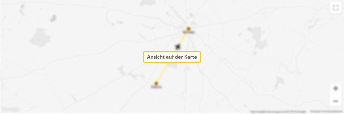
Flughafen Pocahontas Municipal auf einer Karte
5 Gründe, sich für unseren Deals-Newsletter anzumelden
- Sonderangebote
- Inspiration
- Life Hacks
- Verlosungen
- Offenen Stellen